by WildBone Outdoors
Loading…
Map Load Failed
OFFLINE AREA MODE
DRAG TO CROP HUNT AREA
N
ACQ
WIND /
THERMALS
· 0 tiles · 0 MB est.
CREATE OFFLINE AREA
Save a hunt property for offline use, then add stands, cameras, plots, trails & notes.
NAME THIS AREA
\u26a0 SUBSTANTIAL DOWNLOAD \u2014 saves the whole area (map + elevation + water) to your phone and can take a few minutes on good signal. Do it at the truck, BEFORE you lose service. A progress bar will show while it works.
MAPS
MY CONTENT
TAP FIRST POINT
0 pts
TAP START POINT
TOTAL —
3
STAND BY
00:00 0 yd REC
ROUTE RECORDED
00:00 · 0 yd
GO TO COORDINATES
Paste or enter a decimal coordinate — fly straight to it.
TOOLS
Back Up My Pins / Routes / Paths
Your pins auto-save as you go. Tap now and then to also save a file copy — your safety net if your phone is lost or replaced. (Offline maps are saved separately.)
HuntCast-IQ
Atmospheric movement intelligence — forecast hunting conditions by time of day
Restore From Backup
Import a backup file to recover your scouting data
Send Feedback
Report a bug or share feedback (tagged to your email)
Developer Diagnostics
Terrain classifier, chain pipeline, and GPS diagnostics — for field validation
Thermal Diagnostics
Coordinate source, terrain sample, and elevation-band debug counters — for field validation
MY CAMERAS
APP GUIDE
TerrainIQ Field Guide
We don't predict deer — we predict the microwinds they use to survive.
01
Start Here
Place the crosshairs on the area you want to scout. Tap Auto Scout and choose your search radius.
100 Yard Radius 1 Pin
Pocket Scout · Mind Ya Business. Dial in the exact terrain around your stand.
250 Yard Radius 2 Pins
Mid Range · Get Nosy. Expose the draws, ridges, crossings, and terrain that feed your location.
500 Yard Radius 3 Pins
Wide Range · Know It All. See the complete terrain picture. Connect everything.
Start small. Expand only when you need a bigger picture.
02
Seven Ways to Scout the Ground
TerrainIQ isn't looking for deer — it's looking for terrain that organizes movement.
Auto Scout — Drop a pin and TerrainIQ reads the terrain around it automatically.
Pinch Point Detection — Finds the funnels where terrain forces movement into a narrow lane.
Terrain Flow — Maps the paths wildlife takes along the easiest lines through the land.
Water Intelligence — Flags creeks, ponds, and crossings that shape how deer travel.
Low Spot Detection — Pinpoints the drainages and bottoms that collect movement and scent.
Thermal Intelligence — Reads live wind and thermals so you play the air, not against it.
Offline Maps — Download an area and hunt it with no signal — terrain, water, and all.
When several of these connect — you've found organized movement.
03
Use the Tools
Everything you need is under Tools.
Yard Stick — measure distance
Add Shape — outline bedding, food, sanctuaries, and hunt zones
Markers — organize important locations
Record Routes — plan and record quiet access
04
Choose Your Map
Different maps answer different questions. Long-press the maps icon to see all four options.
Topo — understand terrain
Hybrid — terrain plus satellite imagery
Satellite — cover, vegetation, and openings
Street — driving and property access
Switch maps often. The best hunters study every angle.
05
Thermal IQ
Tap your pin while online. TerrainIQ downloads live atmospheric conditions instantly.
When you're offline, the Thermal Cards become your field reference — using terrain physics to help you understand how scent is likely to travel.
Live when connected. Physics when you're not.
06
Hunt Smarter
TerrainIQ doesn't replace experience. It helps you see what experience eventually teaches.
The more terrain features that work together, the stronger the opportunity.
We don't teach you where deer are. We teach you why they'll be there.
Terrain creates advantages, and elevation predicts when those advantages occur.
PROFILE
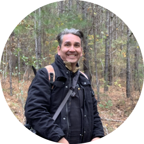
Julian Rubi
Julian Rubi
Founder • WildBone Outdoors
Creator of TerrainIQ
About TerrainIQ
34 years in the woods. One year in the garage.
TerrainIQ wasn't built in a boardroom. It was built from decades of hunting, thousands of hours studying terrain, and one relentless year turning those lessons into software.
At WildBone Outdoors, we believed hunting apps could do more than show maps and weather. So we built one that reads terrain, understands elevation, and calculates the very air wildlife use to survive.
Instead of simply reporting conditions, TerrainIQ models the physics behind movement — terrain, thermals, elevation, and atmospheric behavior — to help hunters understand why animals use an area, not just where they were yesterday.
Every feature exists for one reason: to help you make better decisions in the field.
34 years learning the woods.
One year teaching maps how to hunt.
— WildBone Outdoors
Southeast Oklahoma
HUNTCAST-IQ
by WildBone Outdoors
24-HOUR MOVEMENT PROBABILITY
NOW
 
PEAK
 
AVG
all-day
ESTIMATED (OFFLINE)
Current Location Used: —
Movement Conditions
Scrub time of day
NOW
12A 6A 12P 6P 12A
DATA STATUS
CURRENT LOCATION USED:
LAST FETCH:
WEATHER TIMESTAMP:
TerrainIQ by WildBone Outdoors · BUILD · MASTER · v213
LEAFLET…
TILES…
GPS — 
TILES: 0
250 YD
✔  MAP READY
HOLD TO DROP PIN
GPS
LAYERS
PROPERTY
WEATHER
FOLDER
MY LOCATION
ADD
MARKER
CHAIN
CHOOSE MAP
Tap map to place a stand.
GPS / COORDINATES
CURRENT POSITION
No GPS fix yet
Accuracy —Elevation —
GO TO COORDINATES
Paste decimal coordinates (e.g. from HuntWise) and jump straight to the location.
ABOUT THIS LOCATION
ADD MARKER
TIME CLASSIFICATION
TERRAIN INTELLIGENCE
MARKER
LOW SPOT IQ
THERMAL DIAGNOSTICS
HUNT INTEL
SCOUT RADIUS
Field Intel
Movement Window
Chains & Pins
TAP MARKERS TO CHAIN
SUGGESTED CHAIN